The United States is a vast country, spanning coast to coast with landscapes that range from dense forests to arid deserts. Connecting this diverse terrain is an intricate network of highways, officially known as the Interstate Highway System. The two maps above provide an insightful look into the fundamental structure of this network, illustrating the primary east-west and north-south interstates that make modern transportation seamless.

The Organization of the Interstate System
The Interstate Highway System, initiated in 1956 under President Dwight D. Eisenhower, follows a numerical pattern:
- East-West highways are even-numbered, increasing from south to north.
- North-South highways are odd-numbered, increasing from west to east.
These rules help drivers and logistics companies navigate the country with ease. The top map in the image emphasizes east-west interstates, while the bottom highlights north-south interstates.
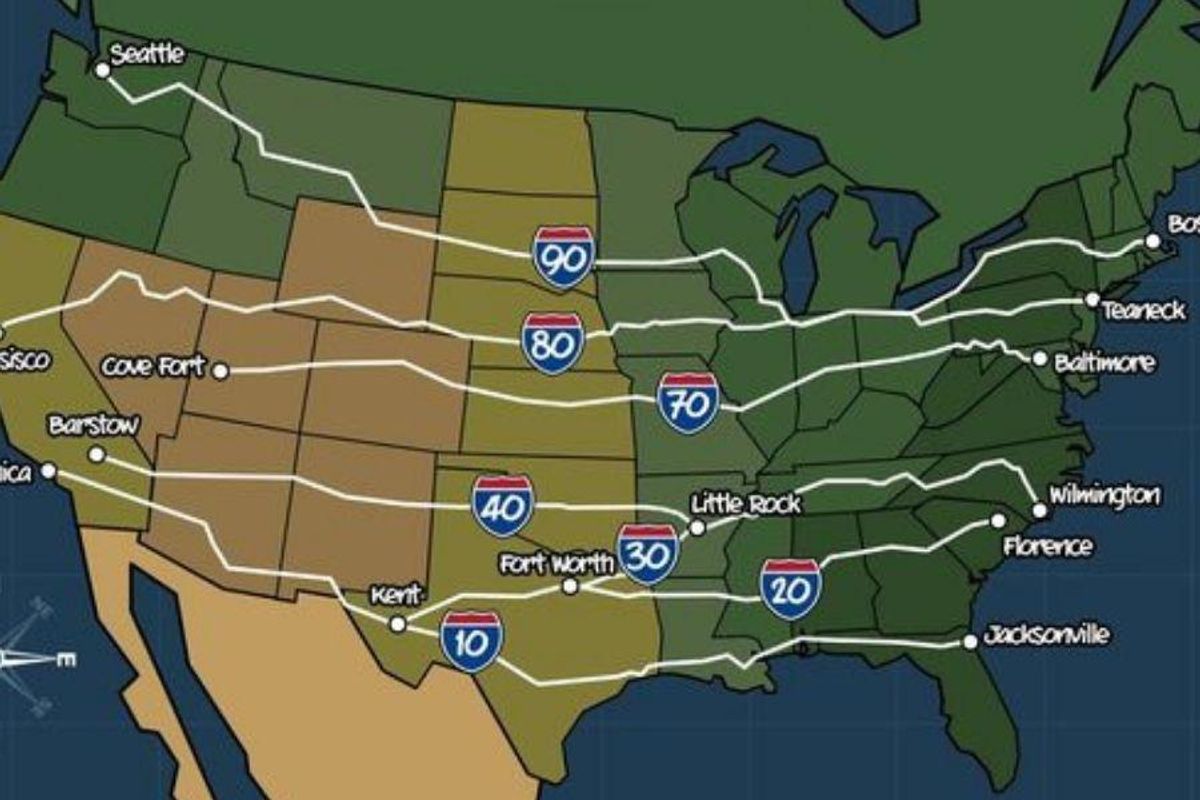

Major East-West Highways
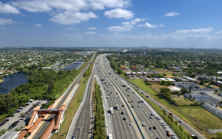
East-west interstates serve as the main arteries for cross-country travel and commerce.
- I-10: Stretches from Santa Monica, CA, to Jacksonville, FL, covering the southern U.S.
- I-40: Runs through major cities such as Little Rock, AR, and Albuquerque, NM.
- I-70: Covers a central route, passing through Denver, CO, and Indianapolis, IN.
- I-90: The longest interstate, connecting Seattle, WA, to Boston, MA.
These highways play a crucial role in trucking, trade, and tourism, ensuring goods and people move efficiently across the nation.
Major North-South Highways
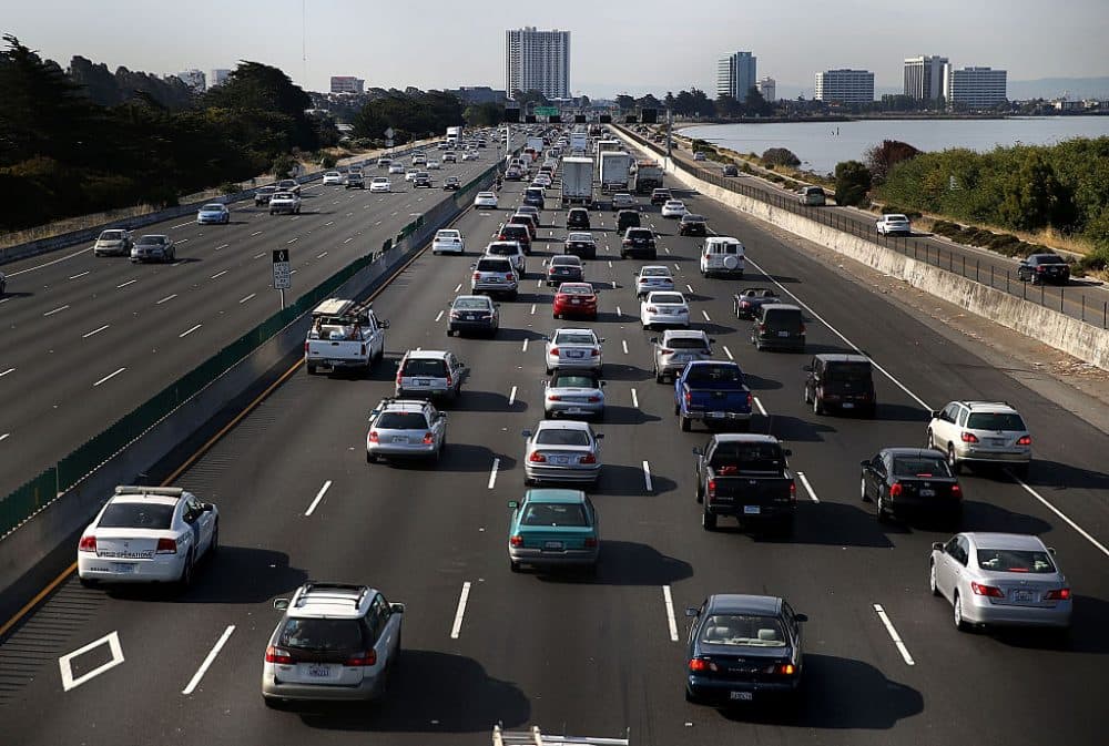
The bottom map showcases the north-south interstates, which are equally vital in linking states from Canada to Mexico.
- I-5: Travels along the West Coast, from San Diego, CA, to Blaine, WA.
- I-35: A key corridor running through cities like Dallas, TX, and Minneapolis, MN.
- I-75: Connects Florida to Michigan, passing through major urban centers such as Atlanta, GA, and Detroit, MI.
- I-95: The busiest interstate, running from Miami, FL, to Houlton, ME, serving the East Coast Megalopolis.
The Impact of the Interstate System
/https://tf-cmsv2-smithsonianmag-media.s3.amazonaws.com/filer/a5/1e/a51e20d4-ede6-410e-a30e-7e47b52b7d30/interstate.jpg)
The U.S. interstate system is not just about roads—it’s about connectivity, economy, and culture. These highways have:
- Revolutionized commerce by allowing goods to move faster and cheaper.
- Boosted tourism, making travel easier for Americans exploring their country.
- Enhanced national security, ensuring quick military mobilization in times of need.
From truck drivers hauling goods to families embarking on road trips, the interstates serve as the lifeline of the country. The two maps in this image beautifully illustrate the careful planning behind this system, making travel and trade more efficient than ever.
